Your guide to things to do and places to see during the spring in Boulder, as well as seasonal programs and services offered by the City of Boulder.
City of Boulder
Community of endless adventure

Earth Day 2024
This year, as we reflect on the interconnectedness of all living beings and the delicate balance of our planet's ecosystems, we invite you to join us in honoring our home.
Let's Talk Boulder Podcast
The City of Boulder produces two podcasts: Let's Talk Boulder and Somos Boulder.
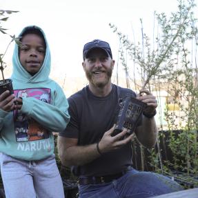
Parks and Recreation: Play Here, Work Here, and Grow Here
From lifeguards to camp counselors to parks maintenance crew, we want you to join us and grow your career here.
City of Boulder Announces Food Tax Rebate Applications Available March 1, 2024
The Food Tax Rebate aims to expand financial support to help enhance economic stability in our community.