The City of Boulder invites community members to provide input on what on-the-ground features (such as signage, art and seating) are desired for people to learn and reflect and to share information about the Fort Chambers – Poor Farm site – which has a direct connection to the Sand Creek Massacre.
This community engagement opportunity builds on community input gathered earlier this year where community members first shared potential ideas, stories, and perspectives for interpretation. Community members next provided input about the importance of representing the different ideas, stories, and perspectives along the trail.
Now, the city invites the public to share their input on what on-the-ground features are desired for representing information and supporting visitors in learning and reflecting along the trail. Please join us to share your input:
- Community Workshop: the workshop will be held from 2 to 4 pm, on Monday, Sep. 22, at the Open Space and Mountain Parks Hub, 2520 55th St. Boulder, CO 80301
- Online Questionnaire: Available Sept. 22, to Sunday, Oct. 5, 2025. Fill out the online questionnaire.
Previous Community Input
In June, 2025 the City of Boulder invited community members to help prioritize ideas, stories and perspectives that will shape an educational, reflective and healing trail on the city’s Fort Chambers/Poor Farm site, through a community workshop and an online questionnaire.
This recent engagement built on community input gathered earlier this year where community members were asked to share their ideas, stories, and perspectives for healing trial interpretative elements. Now understanding the breadth of potential stories, the city requested additional guidance to help determine which ideas, stories or themes were the most important to feature along the planned healing trail. Thank you to everyone who participated and provided input!
The online questionnaire was available from June 10–30, 2025, through the city’s Be Heard Boulder platform, and was completed by 72 participants.
The first section of the questionnaire asked people to rate the importance of sharing each story along the Healing Trail. The ideas with the highest ratings were:
- Aftermath of the Sand Creek Massacre for the Arapaho and Cheyenne Tribes
- Contemporary, present-day Tribal culture
- Victims of the Sand Creek Massacre and their personal stories
- Indigenous/Native connection to land and ecology
- Historical bias and continuing false narratives as depicted on stone marker
The next section of the questionnaire asked participants, “Which topics are most important to share along the Healing Trail?” with an option to choose their top 3 from a randomized list of all the topics. The ideas selected the most were:
- Aftermath of the Sand Creek Massacre for the Arapaho and Cheyenne Tribes
- Victims of the Sand Creek Massacre and their personal stories
- Indigenous/Native connection to land and ecology
- Firsthand accounts of the Sand Creek Massacre from Silas Soule, Morse Coffin, Joseph Cramer and/or others
- Contemporary, present-day Tribal culture
The in-person workshop was facilitated by Ernest House, Jr. of the Keystone Policy Center on June 17, 2025. About 23 community members participated in a dot exercise, where participants were asked to place dots on the stories they wanted featured along the healing trail. Sticky notes were available to community members to provide additional insight into the topics they wanted to see represented in interpretive materials.
The ideas with the most dots were:
- Aftermath of the Sand Creek Massacre for the Arapaho and Cheyenne Tribes
- Indigenous/Native connection to land and ecology
- Historical bias and continuing false narratives as depicted on stone marker
- Valmont Butte's history as a culturally important site
- Early settler perspectives and relationships with Tribes
Community input was also compiled and included in a memo prepared for the Open Space Board of Trustees PDF.
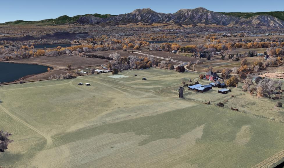
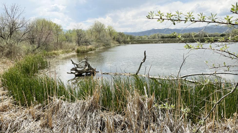
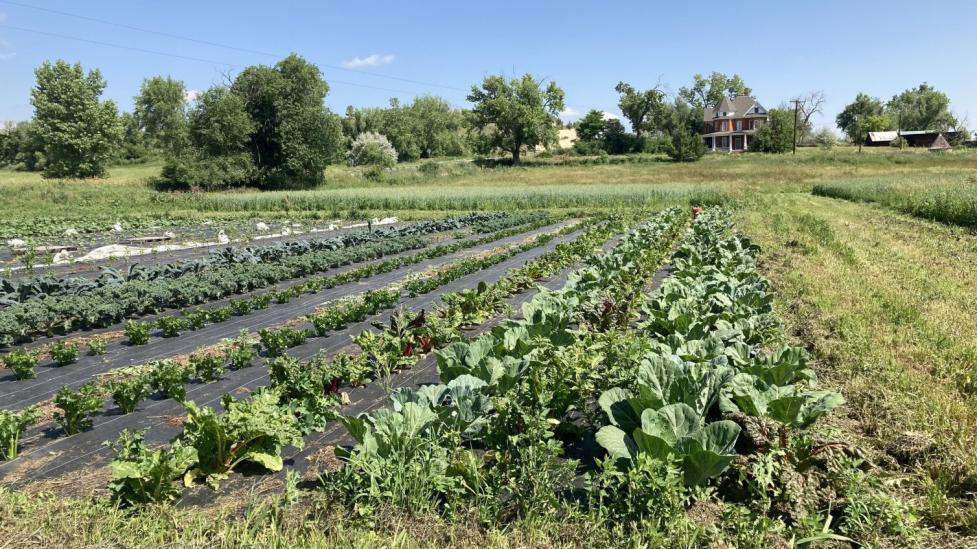
The trail is a key element of a collaborative stewardship plan developed with Arapaho and Cheyenne Tribal Representatives last year. The plan guides how the city will care for the Fort Chambers / Poor Farm site—land where more than 100 Boulder-area men trained before participating in the Sand Creek Massacre.
Next steps
The community input will be used to explore how community-prioritized stories will unfold along the healing trail. That could include interpretive signs, historical markers or monuments. An online questionnaire and community workshop are planned for Sept. 22, 2025 with Arapaho and Cheyenne Tribal Representatives joining in-person as part of our ongoing collaboration on this project. Input from the community and Tribal Representatives will then be used to further design the interpretive trail experience.
The city thanks Arapaho and Cheyenne Tribal Representatives for helping to guide stewardship of the Fort Chambers / Poor Farm Site, shaped by a shared city-Tribal vision of “Heal the Land; Heal the People.”